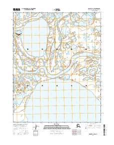
2016 Map of Selawik C-2 SW
USGS Topo · Published 2016About this map
Selawik sits at the heart of this landscape, positioned along the meandering Selawik River just east of the Selawik Airport. The region is defined by a dense network of water bodies, illustrating the intricate hydrology of the Northwest Arctic. Large basins such as Inland Lake, Niglaktak Lake, and the sprawling Cleveland Lakes dominate the southern and northern reaches of the quadrangle. The map reveals the critical connection between these waters through smaller channels like Throat River and Long Lake, showing the natural transit routes that define movement through this riverine environment. This 2016 survey captures the traditional footprint of the village and its surrounding seasonal waterways before recent environmental shifts further altered the subarctic terrain.
Find a feature on this map
12 named features on this map. Tap any name to fly to it.
Don’t see what you’re looking for? This feature index may not catch every label — zoom into the map to look around manually.
Map Details
Editions of this 2016 Selawik C-2 SW Map
This is the sole edition of this map. No revisions or reprints were ever made.
Other maps of this area

1951 · Selawik
USGS Topo · 1:250,000

1955 · Selawik B-3
USGS Topo · 1:63,360

1955 · Selawik C-3
USGS Topo · 1:63,360

1957 · Selawik
USGS Topo · 1:250,000
1985 · Selawik B-2
USGS Topo · 1:63,360
1985 · Selawik C-2
USGS Topo · 1:63,360
2015 · Selawik C-2 NW
USGS Topo · 1:25,000
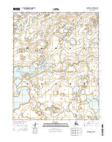
2015 · Selawik C-2 NE
USGS Topo · 1:25,000
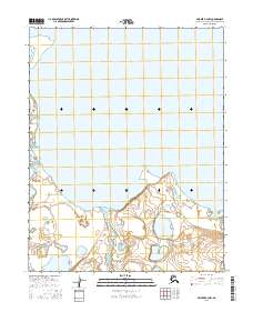
2016 · Selawik B-2 NW
USGS Topo · 1:25,000
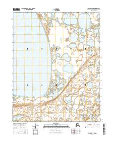
2016 · Selawik B-2 NE
USGS Topo · 1:25,000