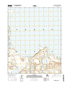
2016 Map of Selawik B-2 NW
USGS Topo · Published 2016About this map
Inland Lake dominates the northern and central expanses of this coastal landscape within the Northwest Arctic Borough. The transition from the massive water body to the low-lying wetlands is marked by intricate shorelines and countless small, unnamed ponds typical of this subarctic region. Toward the south, Hunt Creek flows through the alluvial terrain, providing one of the few named drainage features in this part of the Selawik National Wildlife Refuge area. The map illustrates a vast, interconnected hydrologic system defined by seasonal shifts and the absence of established road infrastructure or settlements, highlighting the remote character of the Alaska-Northwest Arctic region in the early twenty-first century.
Find a feature on this map
8 named features on this map. Tap any name to fly to it.
Don’t see what you’re looking for? This feature index may not catch every label — zoom into the map to look around manually.
Map Details
Editions of this 2016 Selawik B-2 NW Map
This is the sole edition of this map. No revisions or reprints were ever made.
Other maps of this area

1951 · Selawik
USGS Topo · 1:250,000

1955 · Selawik B-3
USGS Topo · 1:63,360

1955 · Selawik C-3
USGS Topo · 1:63,360

1957 · Selawik
USGS Topo · 1:250,000
1985 · Selawik B-2
USGS Topo · 1:63,360
1985 · Selawik C-2
USGS Topo · 1:63,360
2015 · Selawik B-2 SW
USGS Topo · 1:25,000
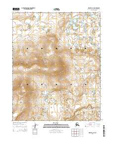
2015 · Selawik B-2 SE
USGS Topo · 1:25,000
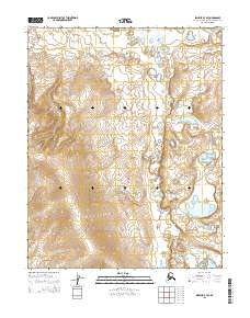
2015 · Selawik B-3 SE
USGS Topo · 1:25,000
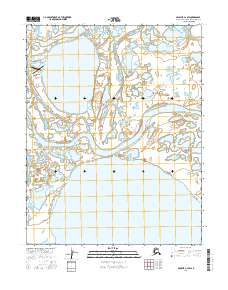
2016 · Selawik C-2 SW
USGS Topo · 1:25,000