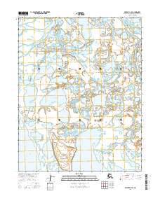
2016 Map of Selawik C-3 SE
USGS Topo · Published 2016About this map
The remote settlement of Selawik sits at the convergence of vital waterways within the Alaska-Northwest Arctic Borough, organized around a small grid including H Street and River Street. This landscape is defined by its intricate hydrological network, where the Selawik River and Kunasugrug River navigate a vast expanse of wetlands and thaw lakes. The area is anchored by significant water bodies such as Selawik Lake and Kacrowtuk Lake, which are interconnected by channels like the Truth River and Throat River.
Find a feature on this map
14 named features on this map. Tap any name to fly to it.
Don’t see what you’re looking for? This feature index may not catch every label — zoom into the map to look around manually.
Map Details
Editions of this 2016 Selawik C-3 SE Map
This is the sole edition of this map. No revisions or reprints were ever made.
Other maps of this area

1951 · Selawik
USGS Topo · 1:250,000

1955 · Selawik B-3
USGS Topo · 1:63,360

1955 · Selawik C-3
USGS Topo · 1:63,360

1957 · Selawik
USGS Topo · 1:250,000
1985 · Selawik B-2
USGS Topo · 1:63,360
1985 · Selawik C-2
USGS Topo · 1:63,360
2015 · Selawik C-2 NW
USGS Topo · 1:25,000
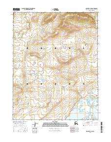
2016 · Selawik C-3 NW
USGS Topo · 1:25,000
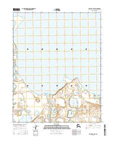
2016 · Selawik B-2 NW
USGS Topo · 1:25,000
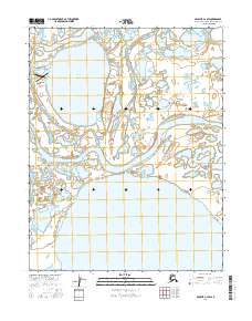
2016 · Selawik C-2 SW
USGS Topo · 1:25,000