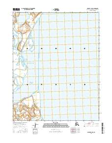
2016 Map of Selawik C-5 SE
USGS Topo · Published 2016About this map
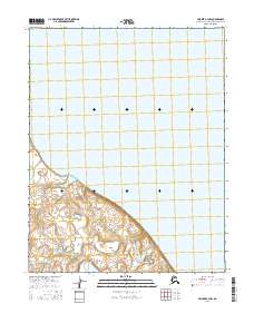
Hotham Inlet and the eastern edge of the Baldwin Peninsula dominate this coastal survey of the Northwest Arctic. The geography is defined by a complex network of estuarine waters where the Mukuksok Channel and Attiunik Channel weave through low-lying coastal terrain. These channels lead to prominent landforms such as Mukuksok Point and Attiunik Point, which mark the transition between the inlet's open waters and the interior reaches of Selawik Lake.
Find a feature on this map
11 named features on this map. Tap any name to fly to it.
Don’t see what you’re looking for? This feature index may not catch every label — zoom into the map to look around manually.
Map Details
Editions of this 2016 Selawik C-5 SE Map
This is the sole edition of this map. No revisions or reprints were ever made.
Other maps of this area

1951 · Selawik
USGS Topo · 1:250,000

1951 · Selawik B-5
USGS Topo · 1:63,360

1955 · Selawik B-4
USGS Topo · 1:63,360

1955 · Selawik C-5
USGS Topo · 1:63,360

1955 · Selawik C-4
USGS Topo · 1:63,360

1957 · Selawik
USGS Topo · 1:250,000
2015 · Selawik C-5 NW
USGS Topo · 1:25,000
2016 · Selawik B-5 NW
USGS Topo · 1:25,000
2016 · Selawik C-5 NE
USGS Topo · 1:25,000
2016 · Selawik B-4 NW
USGS Topo · 1:25,000