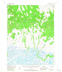
1955 Map of Selawik D-1
USGS Topo · Published 1967About this map
The Waring Mountains dominate the northern half of this mid-century survey, providing a sharp contrast to the saturated wetlands that define the lower landscape. This 1955 photogrammetric study captures a wilderness in transition, where high ridges overlook an intricate network of lakes and tundra. The Nukeargowik River and Ikagoak River serve as primary drainage systems, winding through a complex of unnamed water bodies in the southern flats. The transition from the high elevations of the Waring range to the river-fed lowlands illustrates the geological drainage patterns of the Northwest Arctic region, reflecting an era when large sections of the territory remained unsurveyed and unmarked on the ground by the Bureau of Land Management.
Find a feature on this map
3 named features on this map. Tap any name to fly to it.
Don’t see what you’re looking for? This feature index may not catch every label — zoom into the map to look around manually.
Map Details
Editions of this 1955 Selawik D-1 Map
2 editions found
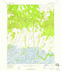
Other maps of this area

1951 · Baird Mountains
USGS Topo · 1:250,000

1951 · Selawik
USGS Topo · 1:250,000

1951 · Shungnak
USGS Topo · 1:250,000

1951 · Ambler River
USGS Topo · 1:250,000

1955 · Shungnak
USGS Topo · 1:250,000

1955 · Baird Mountains A-1
USGS Topo · 1:63,360

1955 · Selawik D-2
USGS Topo · 1:63,360

1955 · Ambler River A-6
USGS Topo · 1:63,360

1955 · Shungnak D-6
USGS Topo · 1:63,360

1955 · Baird Mountains A-2
USGS Topo · 1:63,360