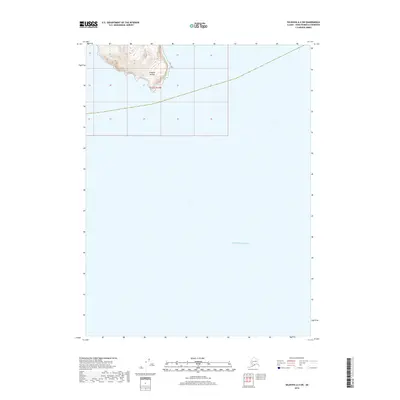
2018 Map of Seldovia A-4 SW
USGS Topo · Published 2018About this map
Chugach Islands rise from the sea in the northwestern corner of this coastal survey, where the rugged topography of the Kenai Peninsula meets the Pacific Ocean. This maritime landscape is defined primarily by open water and the steep elevations of the islands, with contour lines indicating a precipitous rise from the shoreline to heights over 1,100 feet. The map provides a precise record of the shoreline and maritime boundaries within the Public Land Survey System, specifically marking t12s r13w. While the majority of the sheet covers the surrounding sea, the inclusion of these landmasses documents a critical point of land at the southern reaches of the peninsula, serving as a primary reference for the navigational and geographic character of the region.
Find a feature on this map
3 named features on this map. Tap any name to fly to it.
Don’t see what you’re looking for? This feature index may not catch every label — zoom into the map to look around manually.
Map Details
Editions of this 2018 Seldovia A-4 SW Map
This is the sole edition of this map. No revisions or reprints were ever made.
Other maps of this area

1951 · Seldovia
USGS Topo · 1:250,000

1951 · Seldovia A-4
USGS Topo · 1:63,360

1952 · Afognak
USGS Topo · 1:250,000

1953 · Seldovia A-5
USGS Topo · 1:63,360
1953 · Seldovia A-4
USGS Topo · 1:63,360

1963 · Seldovia
USGS Topo · 1:250,000
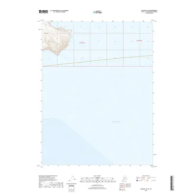
2018 · Seldovia A-5 SE
USGS Topo · 1:25,000
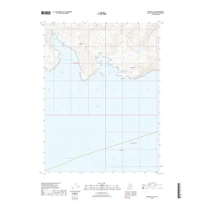
2018 · Seldovia A-4 NE
USGS Topo · 1:25,000
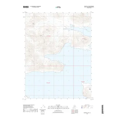
2018 · Seldovia A-5 NE
USGS Topo · 1:25,000
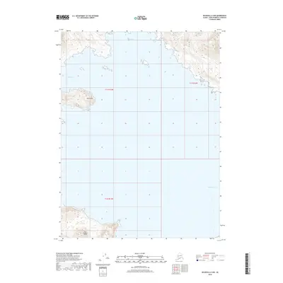
2018 · Seldovia A-4 NW
USGS Topo · 1:25,000