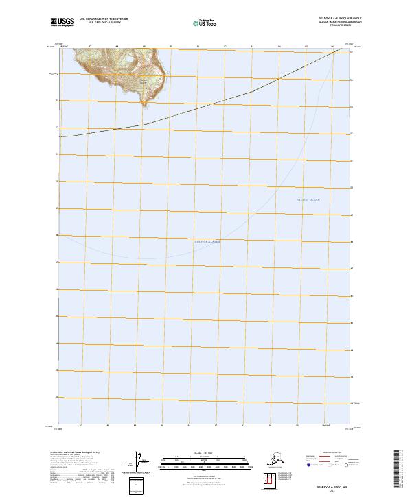
2024 Map of Seldovia A-4 SW
USGS Topo · Published 2024About this map
The Chugach Islands stand at the meeting point of the Gulf of Alaska and the Pacific Ocean in this maritime-focused survey. Dominated by the protected lands of the Alaska Maritime National Wildlife Refuge, the map illustrates a landscape where the North Pacific's power defines the coastline. This specific quadrangle covers a critical ecological intersection, showing the complex bathymetry and topography of these isolated islands. The absence of roads and settlements underscores the preservation of the area as a sanctuary, while the meticulous elevation contours provide a detailed reading of the island's steep, shoreline-defining peaks.
Find a feature on this map
5 named features on this map. Tap any name to fly to it.
Don’t see what you’re looking for? This feature index may not catch every label — zoom into the map to look around manually.
Map Details
Editions of this 2024 Seldovia A-4 SW Map
This is the sole edition of this map. No revisions or reprints were ever made.
Other maps of this area

1951 · Seldovia
USGS Topo · 1:250,000

1951 · Seldovia A-4
USGS Topo · 1:63,360

1952 · Afognak
USGS Topo · 1:250,000

1953 · Seldovia A-5
USGS Topo · 1:63,360
1953 · Seldovia A-4
USGS Topo · 1:63,360

1963 · Seldovia
USGS Topo · 1:250,000
2018 · Seldovia A-5 SE
USGS Topo · 1:25,000
2018 · Seldovia A-4 NE
USGS Topo · 1:25,000
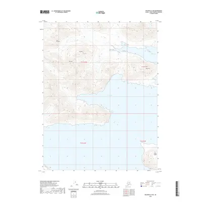
2018 · Seldovia A-5 NE
USGS Topo · 1:25,000
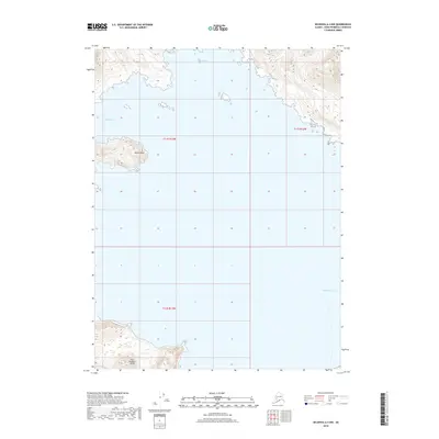
2018 · Seldovia A-4 NW
USGS Topo · 1:25,000