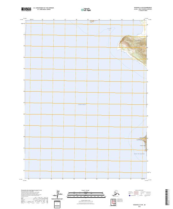
2024 Map of Seldovia A-6 NE
USGS Topo · Published 2024About this map
Alaska Maritime National Wildlife Refuge encompasses the stark coastal fringes of the Kenai Peninsula, where the waters of Cook Inlet meet the open Gulf of Alaska. The landscape is dominated by maritime transitions, featuring the prominent southern headland of Cape Elizabeth and the outlying Elizabeth Island. These landforms, along with the nearby Chugach Islands, serve as critical points for navigation and ecological study in a region shaped by powerful tides and oceanic currents. Farther north, the sheltered waters of Koyuktolik Bay provide a distinct contrast to the exposed rocky coastline. The map illustrates a largely unpopulated wilderness, defined by its conservation status and the natural boundaries of the peninsula's southern tip.
Find a feature on this map
11 named features on this map. Tap any name to fly to it.
Don’t see what you’re looking for? This feature index may not catch every label — zoom into the map to look around manually.
Map Details
Editions of this 2024 Seldovia A-6 NE Map
This is the sole edition of this map. No revisions or reprints were ever made.
Other maps of this area

1951 · Seldovia
USGS Topo · 1:250,000

1951 · Seldovia B-5
USGS Topo · 1:63,360

1951 · Seldovia A-6
USGS Topo · 1:63,360

1951 · Seldovia B-6
USGS Topo · 1:63,360

1952 · Seldovia A-6
USGS Topo · 1:63,360

1953 · Seldovia B-6
USGS Topo · 1:63,360

1953 · Seldovia A-5
USGS Topo · 1:63,360

1953 · Seldovia B-5
USGS Topo · 1:63,360

1963 · Seldovia
USGS Topo · 1:250,000
1987 · Seldovia B-5 SW
USGS Topo · 1:25,000