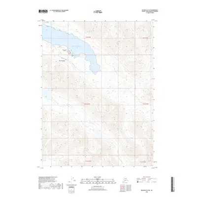
2018 Map of Seldovia B-5 SW
USGS Topo · Published 2018About this map
Port Graham serves as the primary coastal settlement on this portion of the Kenai Peninsula, situated where the waters of the Pacific Ocean meet the shoreline. The local infrastructure reflects a community oriented around both land and sea, featuring the Port Graham Airport and a small network of local thoroughfares including First Street and Graham Road. Near the residential area, the Port Graham Cem provides a point of interest for those researching local family histories and lineage in the region.
Find a feature on this map
17 named features on this map. Tap any name to fly to it.
Don’t see what you’re looking for? This feature index may not catch every label — zoom into the map to look around manually.
Map Details
Editions of this 2018 Seldovia B-5 SW Map
This is the sole edition of this map. No revisions or reprints were ever made.
Other maps of this area
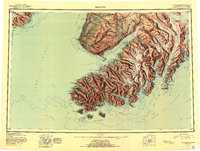
1951 · Seldovia
USGS Topo · 1:250,000
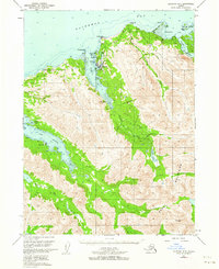
1951 · Seldovia B-5
USGS Topo · 1:63,360
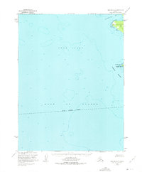
1951 · Seldovia A-6
USGS Topo · 1:63,360
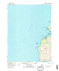
1951 · Seldovia B-6
USGS Topo · 1:63,360
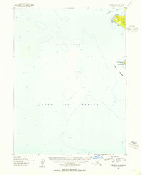
1952 · Seldovia A-6
USGS Topo · 1:63,360
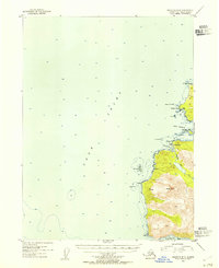
1953 · Seldovia B-6
USGS Topo · 1:63,360
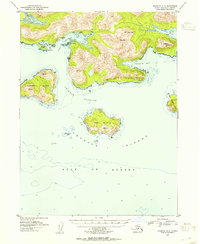
1953 · Seldovia A-5
USGS Topo · 1:63,360
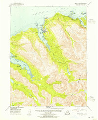
1953 · Seldovia B-5
USGS Topo · 1:63,360
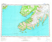
1963 · Seldovia
USGS Topo · 1:250,000
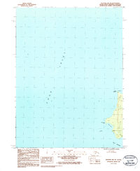
1987 · Seldovia B-6 NE
USGS Topo · 1:25,000