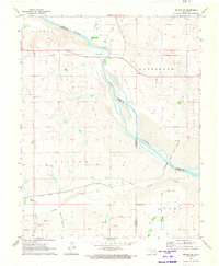
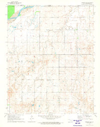
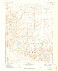
1971 Map of Selman SE
USGS Topo · Published 1973This historical map portrays the area of Selman SE in 1971, primarily covering Harper County as well as portions of Woods County and Woodward County. Featuring a scale of 1:24000, this map provides a highly detailed snapshot of the terrain, roads, buildings, counties, and historical landmarks in the Selman SE region at the time. Published in 1973, it is the sole known edition of this map.
Map Details
Editions of this 1971 Selman SE Map
This is the sole edition of this map. No revisions or reprints were ever made.
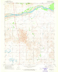
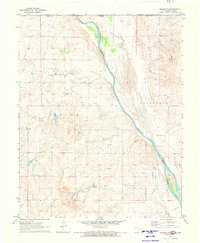
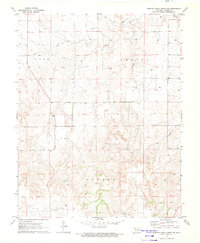
Historical Maps of Woodward County Through Time
13 maps found
1970 Buffalo NE
Harper County, OK
1970 Buffalo NW
Harper County, OK
1970 Buffalo SE
Harper County, OK
1970 Rosston NE
Harper County, OK
1970 Rosston NW
Harper County, OK
1970 Selman NW
Harper County, OK
1970 Sleeping Bear Creek NW
Harper County, OK
1971 Fort Supply NE
Harper County, OK
1971 Fort Supply NW
Harper County, OK

1971 Laverne NE
Harper County, OK
1971 Rosston SE
Harper County, OK
1971 Selman SE
Harper County, OK
1971 Sleeping Bear Creek
Harper County, OK