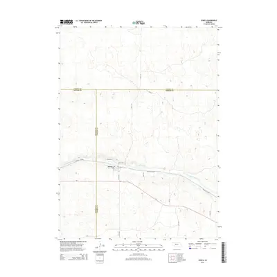
2014 Map of Seneca
USGS Topo · Published 2014About this map
Seneca occupies a central position within the high plains of Thomas County, situated where the Middle Loup River valley provides a natural corridor through the surrounding Sandhills. This 2014 survey captures the community's layout at the junction of local thoroughfares like S Railroad St and Broadway St, which reflect the historical importance of the rail line to the town's development. The landscape is characterized by the complex topography of stabilized dunes typical of this Nebraska region, with transport routes such as the Sandhills Journey and Ne-2 skirting the river valley to avoid the steeper terrain to the north and south. Peripheral roads like Seneca Rd and Walker Ln provide access to the rangeland that defines the area's economic character. The map also delineates the jurisdictional boundaries where Hooker Co and Thomas Co meet just west of the village.
Find a feature on this map
20 named features on this map. Tap any name to fly to it.
Don’t see what you’re looking for? This feature index may not catch every label — zoom into the map to look around manually.
Map Details
Editions of this 2014 Seneca Map
This is the sole edition of this map. No revisions or reprints were ever made.
Other maps of this area

1948 · Seneca
USGS Topo · 1:62,500

1948 · Thedford
USGS Topo · 1:62,500

1948 · Seneca 4
USGS Topo · 1:62,500

1949 · Seneca 4
USGS Topo · 1:62,500

1950 · Thedford
USGS Topo · 1:62,500

1950 · Shimmins Lake
USGS Topo · 1:62,500

1951 · Seneca
USGS Topo · 1:62,500

1954 · North Platte
USGS Topo · 1:250,000

1956 · North Platte
USGS Topo · 1:250,000

1957 · North Platte
USGS Topo · 1:250,000