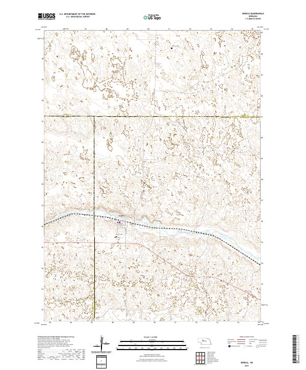
2021 Map of Seneca
USGS Topo · Published 2021About this map
The Middle Loup River winds through the sandhills of central Nebraska, anchoring the small community of Seneca. This 2021 survey documents the layout of the town as it straddles the river and the rail corridor, with streets like Broadway St and S Railroad St defining the local grid. Outside the main settlement, the landscape is marked by the intersecting boundaries of Thomas, Hooker, and Cherry Counties, reflecting the rural administrative divisions of the region.
Find a feature on this map
20 named features on this map. Tap any name to fly to it.
Don’t see what you’re looking for? This feature index may not catch every label — zoom into the map to look around manually.
Map Details
Editions of this 2021 Seneca Map
This is the sole edition of this map. No revisions or reprints were ever made.
Other maps of this area

1948 · Seneca
USGS Topo · 1:62,500

1948 · Thedford
USGS Topo · 1:62,500

1948 · Seneca 4
USGS Topo · 1:62,500

1949 · Seneca 4
USGS Topo · 1:62,500

1950 · Thedford
USGS Topo · 1:62,500

1950 · Shimmins Lake
USGS Topo · 1:62,500

1951 · Seneca
USGS Topo · 1:62,500

1954 · North Platte
USGS Topo · 1:250,000

1956 · North Platte
USGS Topo · 1:250,000

1957 · North Platte
USGS Topo · 1:250,000