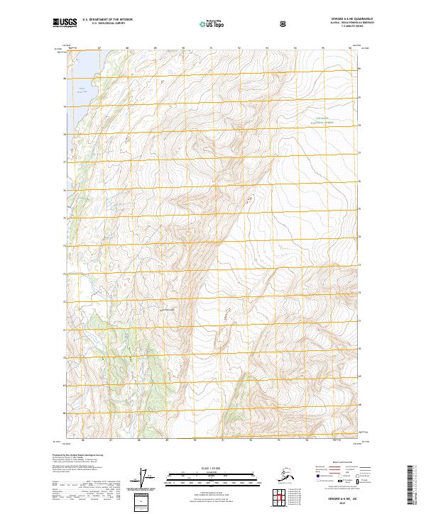
2023 Map of Seward A-6 NE
USGS Topo · Published 2023About this map
Chugach National Forest dominates this section of the Kenai Peninsula, where the landscape is defined by extreme elevation changes and high mountain peaks. The northern reach of the map is punctuated by Nellie Juan Lake, a significant water body situated among the steep ridges. The absence of roads or developed infrastructure emphasizes the wild character of this region during the early twenty-first century. Surveyors have meticulously plotted the townships and ranges, including t2n r2e and t1n r3e, providing a precise grid over the varying terrain of the Chugach mountains. This map serves as a primary reference for the topographic layout of the peninsula's interior before modern development or climate shifts significantly alter the high-altitude hydrology and glaciated landforms.
Find a feature on this map
8 named features on this map. Tap any name to fly to it.
Don’t see what you’re looking for? This feature index may not catch every label — zoom into the map to look around manually.
Map Details
Editions of this 2023 Seward A-6 NE Map
This is the sole edition of this map. No revisions or reprints were ever made.
Other maps of this area

1950 · Seward A-6
USGS Topo · 1:63,360

1951 · Seward
USGS Topo · 1:250,000

1951 · Seward A-6
USGS Topo · 1:63,360

1951 · Seward A-5
USGS Topo · 1:63,360

1951 · Seward B-6
USGS Topo · 1:63,360

1951 · Seward B-5
USGS Topo · 1:63,360

1952 · Seward A-5
USGS Topo · 1:63,360

1952 · Seward B-6
USGS Topo · 1:63,360

1952 · Seward B-5
USGS Topo · 1:63,360

1953 · Seward
USGS Topo · 1:250,000