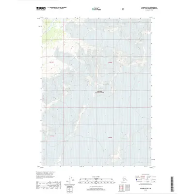
2018 Map of Seward B-5 SW
USGS Topo · Published 2018About this map
Chugach National Forest dominates this section of the Kenai Peninsula, where the landscape is defined by extreme relief and glacial water systems. The Nellie Juan River flows through the northwestern corner of the quadrangle, serving as a primary drainage for the high-altitude precipitation of this coastal region. Rising significantly in the center of the sheet, Crown Peak stands as a primary topographical landmark. This 2018 survey illustrates the vast, undeveloped nature of the Alaskan wilderness, where vertical elevation and hydrological patterns dictate the geography in the absence of road networks or human settlements. The map provides a clear look at the township and range boundaries, including t3n r3e, t3n r4e, t2n r3e, and t2n r4e, which define the administrative grid across this remote terrain.
Find a feature on this map
7 named features on this map. Tap any name to fly to it.
Don’t see what you’re looking for? This feature index may not catch every label — zoom into the map to look around manually.
Map Details
Editions of this 2018 Seward B-5 SW Map
This is the sole edition of this map. No revisions or reprints were ever made.
Other maps of this area

1950 · Seward A-6
USGS Topo · 1:63,360

1951 · Seward
USGS Topo · 1:250,000

1951 · Seward A-6
USGS Topo · 1:63,360

1951 · Seward A-5
USGS Topo · 1:63,360

1951 · Seward B-6
USGS Topo · 1:63,360

1951 · Seward B-5
USGS Topo · 1:63,360

1952 · Seward A-5
USGS Topo · 1:63,360

1952 · Seward B-6
USGS Topo · 1:63,360

1952 · Seward B-5
USGS Topo · 1:63,360

1953 · Seward
USGS Topo · 1:250,000