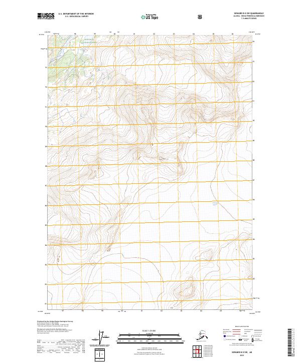
2023 Map of Seward B-5 SW
USGS Topo · Published 2023About this map
Chugach National Forest land defines the character of this Kenai Peninsula region, where modern surveying captures the massive ice and high-altitude terrain of the coastal mountains. The southeast corner of the map is dominated by the vast ice field of Chenega Glacier, while further north, the sharp summit of Crown Peak stands as a primary landmark above the surrounding ridges. The Nellie Juan River provides the primary drainage system in the northwest, cutting through the mountain valleys. This 2023 edition reflects contemporary glacial and river boundaries, essential for understanding the shifting hydrology of Alaska's maritime forests. The map's grid lines, including t3n r4e and t2n r3e, offer a precise framework for locating these features within the federal forest system.
Find a feature on this map
8 named features on this map. Tap any name to fly to it.
Don’t see what you’re looking for? This feature index may not catch every label — zoom into the map to look around manually.
Map Details
Editions of this 2023 Seward B-5 SW Map
This is the sole edition of this map. No revisions or reprints were ever made.
Other maps of this area

1950 · Seward A-6
USGS Topo · 1:63,360

1951 · Seward
USGS Topo · 1:250,000

1951 · Seward A-6
USGS Topo · 1:63,360

1951 · Seward A-5
USGS Topo · 1:63,360

1951 · Seward B-6
USGS Topo · 1:63,360

1951 · Seward B-5
USGS Topo · 1:63,360

1952 · Seward A-5
USGS Topo · 1:63,360

1952 · Seward B-6
USGS Topo · 1:63,360

1952 · Seward B-5
USGS Topo · 1:63,360

1953 · Seward
USGS Topo · 1:250,000