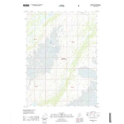
2018 Map of Seward B-6 SE
USGS Topo · Published 2018About this map
The Chugach National Forest dominates this section of the Kenai Peninsula, where a high-altitude water system feeds into several distinct drainage basins. The northern reach is defined by the Upper Paradise Lake and the connected Paradise Lakes, while the western edge is shaped by the glacial path of the Snow River. Toward the east, the Wolverine Cr and the Nellie Juan River cut through the terrain, the latter leading south toward the expansive Nellie Juan Lake. This 2018 survey reveals a landscape largely free of human infrastructure, focusing instead on the complex hydrography and elevation markers that define the interior wilderness of the peninsula.
Find a feature on this map
12 named features on this map. Tap any name to fly to it.
Don’t see what you’re looking for? This feature index may not catch every label — zoom into the map to look around manually.
Map Details
Editions of this 2018 Seward B-6 SE Map
This is the sole edition of this map. No revisions or reprints were ever made.
Other maps of this area

1950 · Seward A-6
USGS Topo · 1:63,360

1951 · Seward
USGS Topo · 1:250,000

1951 · Seward A-6
USGS Topo · 1:63,360

1951 · Seward A-5
USGS Topo · 1:63,360

1951 · Seward B-6
USGS Topo · 1:63,360

1951 · Seward B-5
USGS Topo · 1:63,360

1952 · Seward A-5
USGS Topo · 1:63,360

1952 · Seward B-6
USGS Topo · 1:63,360

1952 · Seward B-5
USGS Topo · 1:63,360

1953 · Seward
USGS Topo · 1:250,000