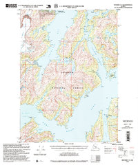
1995 Map of Seward C-4
USGS Topo · Published 1999About this map
Chugach National Forest encompasses the intricate waterways and glaciated peaks of this coastal Alaskan landscape, where the tides of Port Nellie Juan meet the remnants of early industry. The presence of Cannery Ruins near the Port Nellie Juan shoreline and several mines on the northern hills suggests a history of maritime extraction and resource prospecting. This coastal wilderness is managed with several Forest Service outposts, including the Paulson Bay Cabin and Shrode Lake Cabin, providing remote access points near Lake Shrode.
Find a feature on this map
31 named features on this map. Tap any name to fly to it.
Don’t see what you’re looking for? This feature index may not catch every label — zoom into the map to look around manually.
Map Details
Editions of this 1995 Seward C-4 Map
This is the sole edition of this map. No revisions or reprints were ever made.
Other maps of this area

1950 · Seward B-3
USGS Topo · 1:63,360

1951 · Seward
USGS Topo · 1:250,000

1951 · Seward D-5
USGS Topo · 1:63,360

1951 · Seward B-4
USGS Topo · 1:63,360

1951 · Seward C-5
USGS Topo · 1:63,360

1951 · Seward D-4
USGS Topo · 1:63,360

1951 · Seward B-5
USGS Topo · 1:63,360

1951 · Seward D-3
USGS Topo · 1:63,360

1951 · Seward C-4
USGS Topo · 1:63,360

1951 · Seward C-3
USGS Topo · 1:63,360