
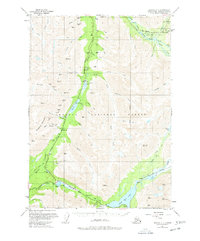
1951 Map of Seward C-7
USGS Topo · Published 1969About this map
Gold mining and mountain transportation define this 1951 record of the Kenai Peninsula. The landscape is marked by numerous lode and placer claims, including the Independence Mine, Mabel Mine, and McMillan Mines, which cluster around Gilpatrick Mountain and Summit Creek. These workings represent the industrial effort to extract minerals from the high slopes of the Chugach National Forest.
Find a feature on this map
72 named features on this map. Tap any name to fly to it.
Don’t see what you’re looking for? This feature index may not catch every label — zoom into the map to look around manually.
Map Details
Editions of this 1951 Seward C-7 Map
2 editions found
Other maps of this area

1951 · Seward
USGS Topo · 1:250,000

1951 · Seward B-7
USGS Topo · 1:63,360

1951 · Seward C-6
USGS Topo · 1:63,360

1951 · Seward B-6
USGS Topo · 1:63,360

1951 · Seward C-8
USGS Topo · 1:63,360

1951 · Seward D-8
USGS Topo · 1:63,360

1951 · Seward D-7
USGS Topo · 1:63,360

1951 · Seward B-8
USGS Topo · 1:63,360

1951 · Seward D-6
USGS Topo · 1:63,360

1952 · Seward B-6
USGS Topo · 1:63,360