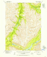
1953 Map of Seward C-7
USGS Topo · Published 1954About this map
Dahl and Gilpatricks anchor a landscape defined by the relentless pursuit of gold and minerals within the Chugach National Forest. This 1953 survey captures the Kenai Peninsula's interior during a period when the Alaska Railroad and the newly established Seward Anchorage Highway provided the primary arteries for commerce and mining. The concentration of workings, including the Dahl Placer Mine, Frenchy Creek Mine, and Mascot Mine, indicates a region still actively being prospected and developed.
Find a feature on this map
68 named features on this map. Tap any name to fly to it.
Don’t see what you’re looking for? This feature index may not catch every label — zoom into the map to look around manually.
Map Details
Editions of this 1953 Seward C-7 Map
3 editions found

Other maps of this area

1951 · Seward
USGS Topo · 1:250,000

1951 · Seward B-7
USGS Topo · 1:63,360

1951 · Seward C-6
USGS Topo · 1:63,360

1951 · Seward B-6
USGS Topo · 1:63,360

1951 · Seward C-8
USGS Topo · 1:63,360

1951 · Seward D-8
USGS Topo · 1:63,360

1951 · Seward D-7
USGS Topo · 1:63,360

1951 · Seward B-8
USGS Topo · 1:63,360

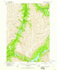
1951 · Seward C-7
USGS Topo · 1:63,360

1951 · Seward D-6
USGS Topo · 1:63,360