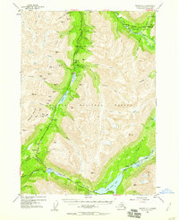
1953 Map of Seward C-7
USGS Topo · Published 1959About this map
High-altitude mining and transportation corridors define this 1953 survey of the Kenai Peninsula, where The Alaska Railroad and the Seward Anchorage Highway converge near Moose Pass. The landscape is dotted with early-to-mid-century mining claims, including the Gilpatrick Mine, Mascot Mine, and the Dahl Placer Mine near Canyon. These operations, many located along the steep slopes of Gilpatrick Mountain, highlight the era's intensive resource extraction within the Chugach National Forest.
Find a feature on this map
77 named features on this map. Tap any name to fly to it.
Don’t see what you’re looking for? This feature index may not catch every label — zoom into the map to look around manually.
Map Details
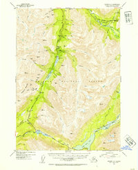
Editions of this 1953 Seward C-7 Map
3 editions found

Other maps of this area

1951 · Seward
USGS Topo · 1:250,000

1951 · Seward B-7
USGS Topo · 1:63,360

1951 · Seward C-6
USGS Topo · 1:63,360

1951 · Seward B-6
USGS Topo · 1:63,360

1951 · Seward C-8
USGS Topo · 1:63,360

1951 · Seward D-8
USGS Topo · 1:63,360

1951 · Seward D-7
USGS Topo · 1:63,360

1951 · Seward B-8
USGS Topo · 1:63,360

1951 · Seward C-7
USGS Topo · 1:63,360

1951 · Seward D-6
USGS Topo · 1:63,360