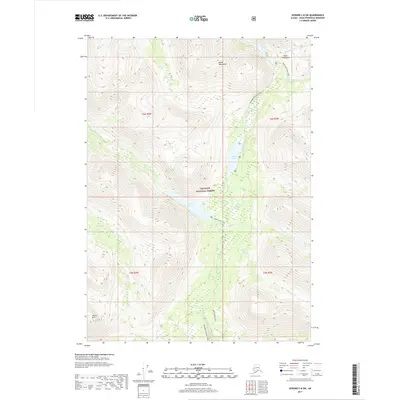
2017 Map of Seward C-8 SW
USGS Topo · Published 2017About this map
Chugach National Forest land defines this portion of the Kenai Peninsula, where a network of recreational and historic paths traverses the Kenai Mountains. This 2017 survey shows a landscape dominated by water and high-elevation relief, centered on the corridor formed by Juneau Lake and Trout Lake. The map details the infrastructure for modern backcountry travel, including the Resurrection Pass Trail and the Trout Lake Cabin, alongside the Swan Lake Cabin Trail.
Find a feature on this map
23 named features on this map. Tap any name to fly to it.
Don’t see what you’re looking for? This feature index may not catch every label — zoom into the map to look around manually.
Map Details
Editions of this 2017 Seward C-8 SW Map
This is the sole edition of this map. No revisions or reprints were ever made.
Other maps of this area

1944 · Kenai
USGS Topo · 1:250,000

1950 · Kenai
USGS Topo · 1:250,000

1950 · Kenai B-1
USGS Topo · 1:63,360

1951 · Seward
USGS Topo · 1:250,000

1951 · Kenai C-1
USGS Topo · 1:63,360

1951 · Seward C-8
USGS Topo · 1:63,360

1951 · Seward B-8
USGS Topo · 1:63,360

1952 · Kenai C-1
USGS Topo · 1:63,360

1952 · Kenai B-1
USGS Topo · 1:63,360

1952 · Seward C-8
USGS Topo · 1:63,360