
1951 Map of Seward D-7
USGS Topo · Published 1968About this map
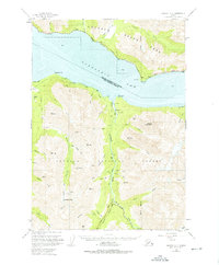
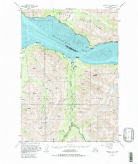
Sixmile Creek and its many tributaries carve through the mountainous terrain of the Chugach National Forest in this early 1950s record of the Kenai Peninsula. The settlement of Sunrise serves as a focal point for the region's mining activity, evidenced by the nearby Connolly Mine and Sunshine Mine. To the north, the Alaska Railroad and the Alaska Highway 1 skirt the edges of the expansive mud flats along Turnagain Arm, connecting small stops like Indian and Bird. The landscape is a mix of industrial extraction and early transportation infrastructure, with the Seward Highway winding south toward Silvertip. Local history is anchored at the Sunrise Cemetery and Hope Cem, while the presence of Swetmann Camp and several family-named landmarks like VABM Nelson suggest the localized nature of mountain settlement during this era.
Find a feature on this map
59 named features on this map. Tap any name to fly to it.
Don’t see what you’re looking for? This feature index may not catch every label — zoom into the map to look around manually.
Map Details
Editions of this 1951 Seward D-7 Map
3 editions found
Other maps of this area

1951 · Seward
USGS Topo · 1:250,000

1951 · Anchorage
USGS Topo · 1:250,000

1951 · Seward C-6
USGS Topo · 1:63,360

1951 · Seward C-8
USGS Topo · 1:63,360

1951 · Seward D-8
USGS Topo · 1:63,360

1951 · Seward C-7
USGS Topo · 1:63,360

1951 · Seward D-6
USGS Topo · 1:63,360

1952 · Seward C-6
USGS Topo · 1:63,360

1952 · Seward D-8
USGS Topo · 1:63,360

1952 · Seward D-6
USGS Topo · 1:63,360