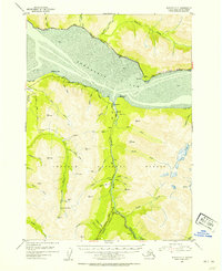
1952 Map of Seward D-7
USGS Topo · Published 1954About this map
The gold-mining history of the Kenai Peninsula is etched into the landscape of Chugach National Forest in this early 1950s survey. Settlements like Sunrise and Swetmann Camp serve as focal points for a network of industrial operations, including the Connolly Mine, Hirshey Mine, and Sunshine Mine. The map documents the vital transportation corridors of the era, notably the Alaska Railroad as it skirts the northern shore of Turnagain Arm near Indian and Bird. Along the southern banks, the Seward Highway follows the rugged coastline past Windy Point. The interior is defined by steep drainages such as Sixmile Creek and Canyon Creek, where numerous cabins and small-scale mining claims like the Byron Ray Mine are located. Genealogists will find the locations of the Sunrise Cemetery and Hope Cem particularly valuable for tracing local pioneer history.
Find a feature on this map
66 named features on this map. Tap any name to fly to it.
Don’t see what you’re looking for? This feature index may not catch every label — zoom into the map to look around manually.
Map Details
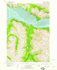
Editions of this 1952 Seward D-7 Map
3 editions found

Other maps of this area

1951 · Seward
USGS Topo · 1:250,000

1951 · Anchorage
USGS Topo · 1:250,000

1951 · Seward C-6
USGS Topo · 1:63,360

1951 · Seward C-8
USGS Topo · 1:63,360

1951 · Seward D-8
USGS Topo · 1:63,360

1951 · Seward D-7
USGS Topo · 1:63,360

1951 · Seward C-7
USGS Topo · 1:63,360

1951 · Seward D-6
USGS Topo · 1:63,360

1952 · Seward C-6
USGS Topo · 1:63,360

1952 · Seward D-8
USGS Topo · 1:63,360