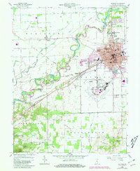
1958 Map of Seymour
USGS Topo · Published 1981About this map
The East Fork White River meanders through this portion of Jackson County, anchoring a landscape defined by its historical transportation corridors and educational institutions. Seymour serves as the regional hub, showing a dense concentration of local infrastructure including Schneck Hospital, the Library, and several neighborhood schools such as Emerson Sch and Jackson Sch. The industrial and logistics history of the area is visible through the Baltimore and Ohio and Conrail rail lines, as well as the sprawling grounds of the Freeman Municipal Airport. To the west, the rural character remains intact near Cortland and New Elizabethtown, where an Old RR Grade and a Covered Bridge suggest older routes through the bottomlands. The southern reach transition into the wooded terrain of the Jackson-Washington State Forest, rising toward the landmark known as the Pinnacle.
Find a feature on this map
52 named features on this map. Tap any name to fly to it.
Don’t see what you’re looking for? This feature index may not catch every label — zoom into the map to look around manually.
Map Details
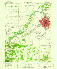
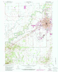
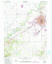
Editions of this 1958 Seymour Map
5 editions found

Other maps of this area

1942 · Franklin
USGS Topo · 1:125,000

1942 · Columbus
USGS Topo · 1:125,000

1948 · Waymansville
USGS Topo · 1:24,000

1953 · Cincinnati
USGS Topo · 1:250,000

1953 · Indianapolis
USGS Topo · 1:250,000

1956 · Indianapolis
USGS Topo · 1:250,000

1956 · Vincennes
USGS Topo · 1:250,000

1956 · Louisville
USGS Topo · 1:250,000

1957 · Indianapolis
USGS Topo · 1:250,000

1957 · Vincennes
USGS Topo · 1:250,000