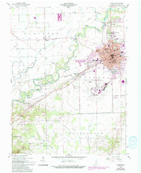
1958 Map of Seymour
USGS Topo · Published 1994About this map
The East Fork White River meanders across this landscape, defining the industrial and civic layout of the city of Seymour. This mid-century survey highlights a town deeply integrated with its transportation infrastructure, from the Baltimore and Ohio RR tracks to the expansive Freeman Municipal Airport on the southern edge. The map captures the city's social fabric through an extensive network of neighborhood schools like Emerson Sch and Riley Sch, and civic landmarks including Schneck Hospital.
Find a feature on this map
56 named features on this map. Tap any name to fly to it.
Don’t see what you’re looking for? This feature index may not catch every label — zoom into the map to look around manually.
Map Details
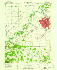
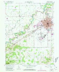
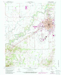
Editions of this 1958 Seymour Map
5 editions found

Other maps of this area

1942 · Franklin
USGS Topo · 1:125,000

1942 · Columbus
USGS Topo · 1:125,000

1948 · Waymansville
USGS Topo · 1:24,000

1953 · Cincinnati
USGS Topo · 1:250,000

1953 · Indianapolis
USGS Topo · 1:250,000

1956 · Indianapolis
USGS Topo · 1:250,000

1956 · Vincennes
USGS Topo · 1:250,000

1956 · Louisville
USGS Topo · 1:250,000

1957 · Indianapolis
USGS Topo · 1:250,000

1957 · Vincennes
USGS Topo · 1:250,000