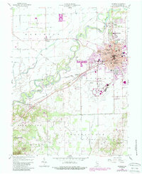
1958 Map of Seymour
USGS Topo · Published 1988About this map
The East Fork White River winds through the heart of this mid-century Jackson County landscape, anchoring the bustling rail and industrial hub of Seymour. The map reveals a city in transition, showing the extensive grounds of the Freeman Municipal Airport and a dense network of local education including Seymour High Sch and St Ambrose Sch. Beyond the city limits, the Old Indian Treaty Boundary cuts a diagonal path across the township lines, a silent reminder of early frontier divisions. To the south, the topography shifts dramatically as the flat river valley gives way to the ridges of the Jackson-Washington State Forest, culminating at the prominent Pinnacle. Genealogists will find a high density of burial sites preserved here, from the large Riverview Cemetery near Rockford to the more secluded Durland Cem and Chestnut Ridge Cem.
Find a feature on this map
50 named features on this map. Tap any name to fly to it.
Don’t see what you’re looking for? This feature index may not catch every label — zoom into the map to look around manually.
Map Details
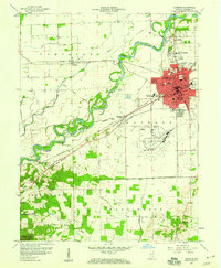
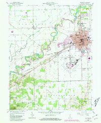
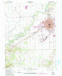
Editions of this 1958 Seymour Map
5 editions found

Other maps of this area

1942 · Franklin
USGS Topo · 1:125,000

1942 · Columbus
USGS Topo · 1:125,000

1948 · Waymansville
USGS Topo · 1:24,000

1953 · Cincinnati
USGS Topo · 1:250,000

1953 · Indianapolis
USGS Topo · 1:250,000

1956 · Indianapolis
USGS Topo · 1:250,000

1956 · Vincennes
USGS Topo · 1:250,000

1956 · Louisville
USGS Topo · 1:250,000

1957 · Indianapolis
USGS Topo · 1:250,000

1957 · Vincennes
USGS Topo · 1:250,000