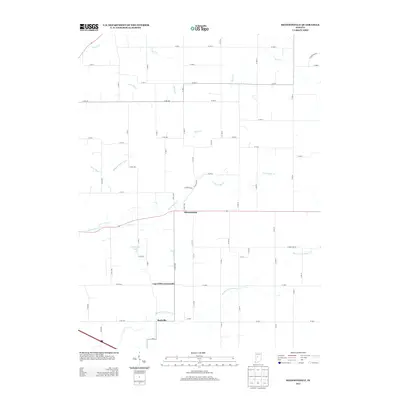
2013 Map of Shannondale
USGS Topo · Published 2013About this map
Shannondale serves as the central hub of this agricultural landscape in Boone County, where the transition between natural waterways and engineered drainage defines the terrain. The presence of Needham Booher Ditch, Gray Ditch, and Cross Ditch alongside winding streams like Hazel Cr and Little Sugar Cr illustrates a long history of land management for farming. These ditches often follow section lines, cutting straight paths through the undulating plains to manage the watershed of the Walnut Fork Sugar Cr.
Find a feature on this map
70 named features on this map. Tap any name to fly to it.
Don’t see what you’re looking for? This feature index may not catch every label — zoom into the map to look around manually.
Map Details
Editions of this 2013 Shannondale Map
This is the sole edition of this map. No revisions or reprints were ever made.
Other maps of this area

1953 · Lizton
USGS Topo · 1:24,000

1953 · Danville
USGS Topo · 1:250,000

1953 · Indianapolis
USGS Topo · 1:250,000

1955 · Danville
USGS Topo · 1:250,000

1956 · Danville
USGS Topo · 1:250,000

1956 · Indianapolis
USGS Topo · 1:250,000

1957 · Indianapolis
USGS Topo · 1:250,000

1957 · New Ross
USGS Topo · 1:24,000

1958 · Darlington
USGS Topo · 1:24,000

1958 · Ladoga
USGS Topo · 1:24,000