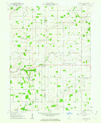
1961 Map of Shannondale
USGS Topo · Published 1963About this map
The Old Indian Treaty Boundary slices diagonally across this agricultural landscape, a visible surveyor's mark of historical land settlement patterns in central Indiana. Centered on the village of Shannondale, the terrain is defined by the winding paths of Sugar Creek and Walnut Fork Sugar Creek, which are bordered by narrow bands of timber amidst broad fields. Small community hubs like Log Cabin Crossroads and Beckville appear alongside several rural houses of worship, including St James Ch and Walnut Grove Ch, marking the social centers of the early 1960s farming community. The presence of numerous Gravel Pits and family-named cemeteries such as Cox Cem and Pisgah Cem provide tangible points of reference for genealogists and local historians tracing the development of Boone and Montgomery counties.
Find a feature on this map
26 named features on this map. Tap any name to fly to it.
Don’t see what you’re looking for? This feature index may not catch every label — zoom into the map to look around manually.
Map Details
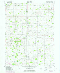
Editions of this 1961 Shannondale Map
2 editions found
Other maps of this area

1953 · Lizton
USGS Topo · 1:24,000

1953 · Danville
USGS Topo · 1:250,000

1953 · Indianapolis
USGS Topo · 1:250,000

1955 · Danville
USGS Topo · 1:250,000

1956 · Danville
USGS Topo · 1:250,000

1956 · Indianapolis
USGS Topo · 1:250,000

1957 · Indianapolis
USGS Topo · 1:250,000

1957 · New Ross
USGS Topo · 1:24,000

1958 · Darlington
USGS Topo · 1:24,000

1958 · Ladoga
USGS Topo · 1:24,000