
1952 Map of Sharon Grove
USGS Topo · Published 1953About this map
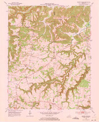
The Todd and Logan County line bisects this rural landscape, which was primarily defined by small crossroads settlements and agricultural communities in the early 1950s. Sharon Grove and Claymour serve as primary points of interest, anchoring a network of family-named landmarks and rural institutions. The topography is intricately carved by Wolf Lick Creek, Whippoorwill Creek, and Clifty Creek, creating a series of ridges such as Duncan Ridge that dictated the placement of early roads and schools.
Find a feature on this map
28 named features on this map. Tap any name to fly to it.
Don’t see what you’re looking for? This feature index may not catch every label — zoom into the map to look around manually.
Map Details
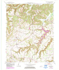
Editions of this 1952 Sharon Grove Map
Other maps of this area

1911 · Drakesboro
USGS Topo · 1:48,000

1911 · Dunmor
USGS Topo · 1:48,000

1913 · Drakesboro
USGS Topo · 1:62,500

1914 · Dunmor
USGS Topo · 1:62,500

1950 · Olmstead
USGS Topo · 1:24,000

1951 · Elkton
USGS Topo · 1:24,000

1951 · Olmstead
USGS Topo · 1:24,000

1951 · Lewisburg
USGS Topo · 1:24,000

1952 · Russellville
USGS Topo · 1:24,000

1952 · Allegre
USGS Topo · 1:24,000