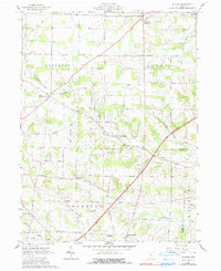
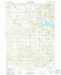
1961 Map of Shauck
USGS Topo · Published 1990About this map
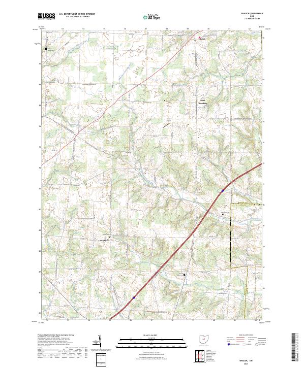
Shauck (Johnsville) serves as the northern anchor for this rural Ohio landscape, where the headwaters of the Kokosing River and its North Branch begin to carve through the terrain of Congress and Perry townships. The map documents a classic Midwestern agricultural pattern, defined by small hamlets like North Woodbury, Williamsport, and Pulaskiville that are linked by a dense grid of township roads.
Find a feature on this map
38 named features on this map. Tap any name to fly to it.
Don’t see what you’re looking for? This feature index may not catch every label — zoom into the map to look around manually.
Map Details
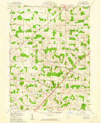
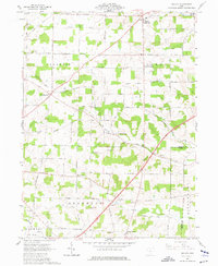
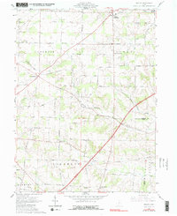
Editions of this 1961 Shauck Map
4 editions found
Historical Maps of Perry Township Through Time
18 maps found
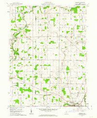
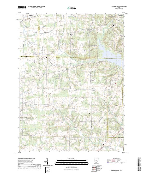
1961 Blooming Grove
Morrow County, OH
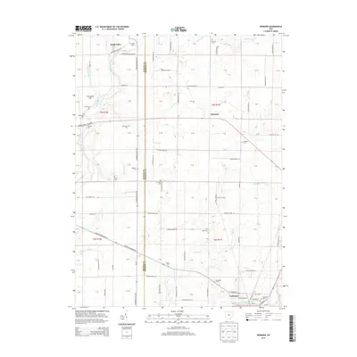
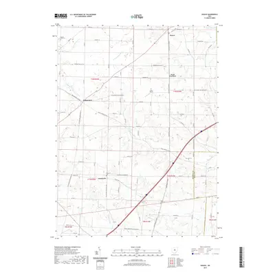
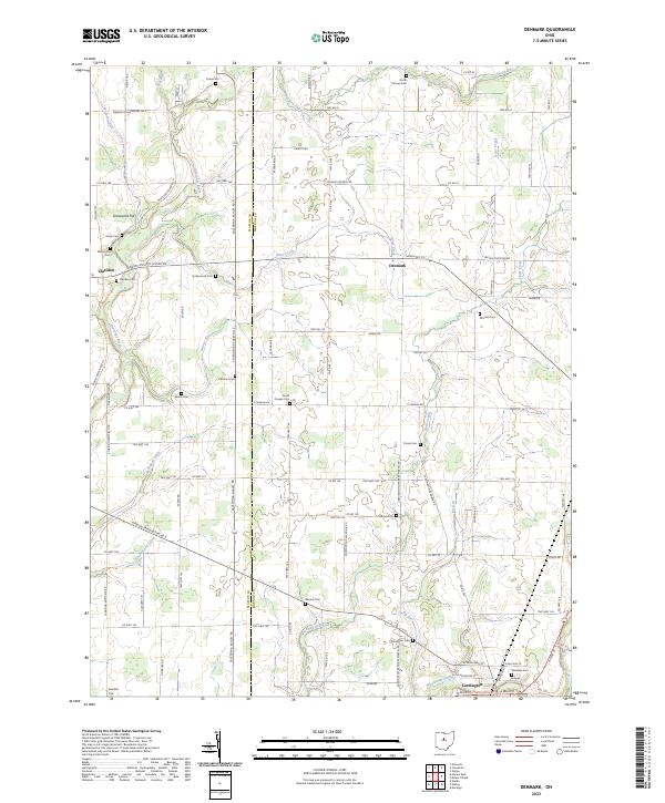
1961 Denmark
Morrow County, OH
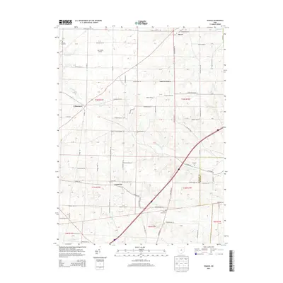
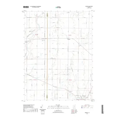
1961 Shauck
Morrow County, OH
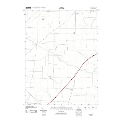
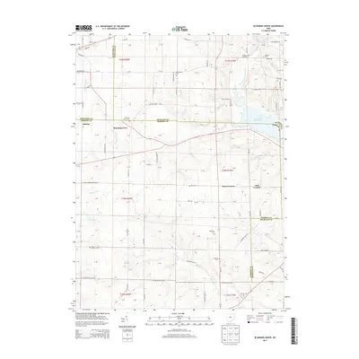
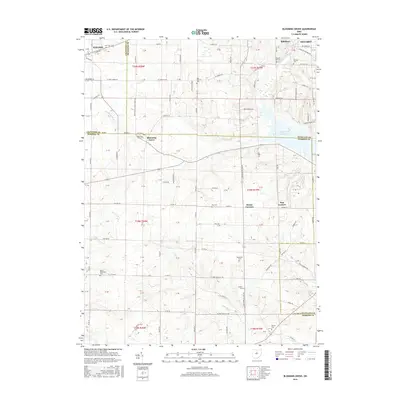
2010 Blooming Grove
Morrow County, OH
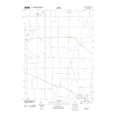
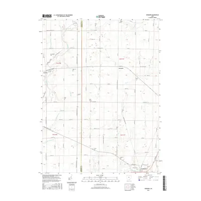
2010 Denmark
Morrow County, OH
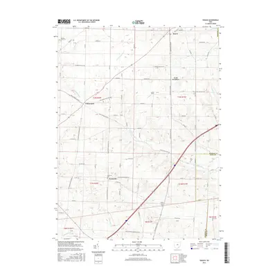
2010 Shauck
Morrow County, OH
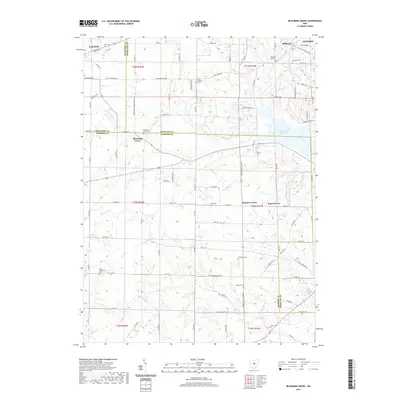
2013 Blooming Grove
Morrow County, OH
2013 Denmark
Morrow County, OH
2013 Shauck
Morrow County, OH
2016 Blooming Grove
Morrow County, OH
2016 Denmark
Morrow County, OH
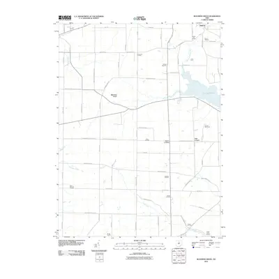
2016 Shauck
Morrow County, OH
2019 Blooming Grove
Morrow County, OH
2019 Denmark
Morrow County, OH
2019 Shauck
Morrow County, OH
2023 Blooming Grove
Morrow County, OH
2023 Denmark
Morrow County, OH
2023 Shauck
Morrow County, OH
Featured Locations
- Perry Township, OH
- Congress Township, OH
- Franklin Township, OH
- Middlebury Township, OH
- Perry Township, OH