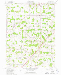
1961 Map of Shauck
USGS Topo · Published 1977About this map
The Kokosing River and its North Branch drain this section of the Ohio highlands, where small farming communities like Shauck and North Woodbury are linked by a dense network of country roads. The landscape is characterized by the prominent elevation of Chestnut Ridge and numerous small watercourses including Sylvester Run and Lost Run. This 1961 field-checked survey reveals a rural society built around local gathering points, evidenced by several historical houses of worship such as Pleasant Grove Ch and St Johns Ch.
Find a feature on this map
42 named features on this map. Tap any name to fly to it.
Don’t see what you’re looking for? This feature index may not catch every label — zoom into the map to look around manually.
Map Details
Editions of this 1961 Shauck Map
4 editions found
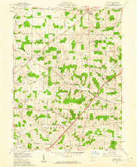
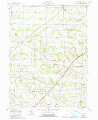
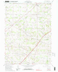
Other maps of this area

1913 · Mount Gilead
USGS Topo · 1:62,500

1915 · Shauck
USGS Topo · 1:62,500

1915 · Marengo
USGS Topo · 1:62,500

1915 · Fredericktown
USGS Topo · 1:62,500

1916 · Mount Gilead
USGS Topo · 1:62,500

1943 · Shauck
USGS Topo · 1:62,500

1943 · Marengo
USGS Topo · 1:62,500

1943 · Mount Gilead
USGS Topo · 1:62,500

1943 · Fredericktown
USGS Topo · 1:62,500

1950 · Marion
USGS Topo · 1:250,000
Featured Places
- Perry Township, OH
- Congress Township, OH
- Franklin Township, OH
- Middlebury Township, OH
- Perry Township, OH