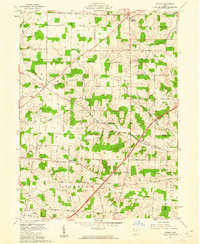
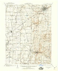
1961 Map of Shauck
USGS Topo · Published 1962About this map
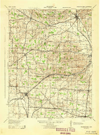
The Kokosing River and its tributaries, including Tiffin Branch, shape this rural landscape at the intersection of Morrow and Knox counties. During the early 1960s, this region was defined by a network of small settlements and crossroads communities like Shauck (Johnsville) and Pulaskiville. The map documents a strictly agricultural character, where many roads still follow the original land partitions of Congress, Perry, and Franklin townships. Genealogists will find value in the placement of rural sanctuaries such as Pleasant Grove Ch, St Johns Ch, and Harmony Ch. The local infrastructure is captured in detail, from the path of Treaty Line Road to the winding course of the Harmony River.
Find a feature on this map
45 named features on this map. Tap any name to fly to it.
Don’t see what you’re looking for? This feature index may not catch every label — zoom into the map to look around manually.
Map Details
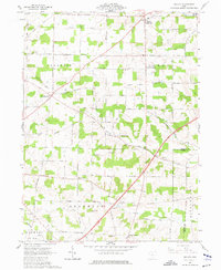
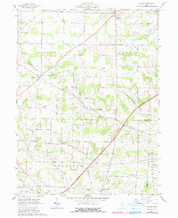
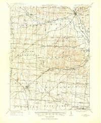
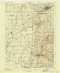
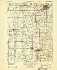
Editions of this 1961 Shauck Map
4 editions found
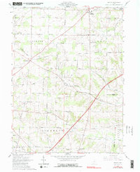
Other maps of this area
1913 · Mount Gilead
USGS Topo · 1:62,500

1915 · Shauck
USGS Topo · 1:62,500

1915 · Marengo
USGS Topo · 1:62,500
1915 · Fredericktown
USGS Topo · 1:62,500
1916 · Mount Gilead
USGS Topo · 1:62,500

1943 · Shauck
USGS Topo · 1:62,500

1943 · Marengo
USGS Topo · 1:62,500
1943 · Mount Gilead
USGS Topo · 1:62,500
1943 · Fredericktown
USGS Topo · 1:62,500

1950 · Marion
USGS Topo · 1:250,000