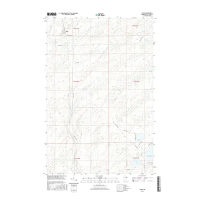
2016 Map of Shaw
USGS Topo · Published 2016About this map
Us-Kab-Wan-Ka River and its intricate tributaries dominate this Saint Louis County landscape, weaving through a terrain defined by extensive wetlands and glacial lakes. The small settlement of Shaw sits at the intersection of Correction Line Rd and Munger Shaw Rd, serving as a central point in this sparsely populated area of northern Minnesota. The map illustrates a transition from the narrow waters of Bug Creek in the northwest to the larger recreational and storage waters in the south, most notably the Island Lake Reservoir. Local road names such as Junttinen Rd and Stroud Rd reflect the early families and landholders of the region. This 2016 survey captures the area's rural character, showing the distribution of modern development alongside significant water bodies like Morgan Lake and Cooks Lake.
Find a feature on this map
28 named features on this map. Tap any name to fly to it.
Don’t see what you’re looking for? This feature index may not catch every label — zoom into the map to look around manually.
Map Details
Editions of this 2016 Shaw Map
This is the sole edition of this map. No revisions or reprints were ever made.
Other maps of this area

1895 · Duluth
USGS Topo · 1:62,500

1953 · Twig
USGS Topo · 1:24,000

1953 · Canyon
USGS Topo · 1:24,000

1953 · Shaw
USGS Topo · 1:24,000

1953 · Boulder Lake Reservoir
USGS Topo · 1:24,000

1953 · Fredenberg
USGS Topo · 1:24,000

1953 · Independence
USGS Topo · 1:24,000

1953 · Duluth
USGS Topo · 1:62,500

1953 · Duluth
USGS Topo · 1:250,000

1954 · Hibbing
USGS Topo · 1:250,000