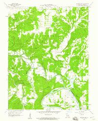
1959 Map of Shawnee Bend
USGS Topo · Published 1960About this map
The South Grand River and Osage River converge in this 1950s study of the Missouri landscape just west of Warsaw. The map records a rural network of small schoolhouses and country churches before many valley landscapes were further altered by regional water projects. Significant local landmarks include Racket, a small settlement cluster served by Racket Sch and Shady Grove Ch. The terrain is deeply incised by numerous hollows, such as Sugarcamp Hollow and Crawfish Hollow, which drain into the rising waters of the Lake of the Ozarks.
Find a feature on this map
38 named features on this map. Tap any name to fly to it.
Don’t see what you’re looking for? This feature index may not catch every label — zoom into the map to look around manually.
Map Details
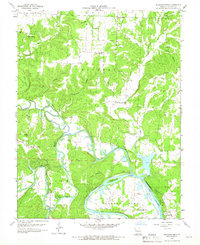
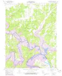
Editions of this 1959 Shawnee Bend Map
3 editions found
Other maps of this area

1887 · Clinton
USGS Topo · 1:125,000

1887 · Warsaw
USGS Topo · 1:125,000

1894 · Warsaw
USGS Topo · 1:125,000

1894 · Clinton
USGS Topo · 1:125,000

1935 · Dell
USGS Topo · 1:24,000

1936 · Shawnee Bend
USGS Topo · 1:24,000

1936 · Schuyler
USGS Topo · 1:24,000

1941 · Valhalla
USGS Topo · 1:24,000

1945 · Fristoe
USGS Topo · 1:62,500
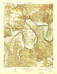
1945 · Valhalla
USGS Topo · 1:24,000