
1916 Map of Shawneetown
USGS Topo · Published 1916About this map
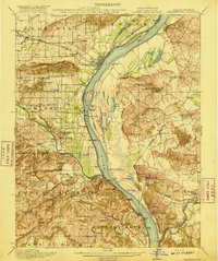
Shawneetown sits as a vital river hub where the Ohio River forms the winding border between Illinois and Kentucky. This era of the mid-1910s reveals a landscape defined by its reliance on water and rail transport, featuring numerous river landings such as Talbott Landing and Sellers Landing. The interior is dotted with rural infrastructure, including a high density of country schools like Gum Springs School and McCoy School, which served the farming and mining communities of the early 20th century.
Find a feature on this map
92 named features on this map. Tap any name to fly to it.
Don’t see what you’re looking for? This feature index may not catch every label — zoom into the map to look around manually.
Map Details
Editions of this 1916 Shawneetown Map
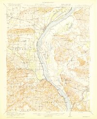
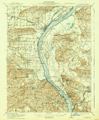
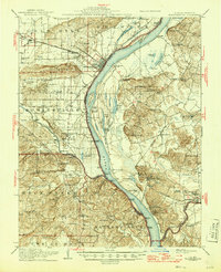
5 editions found
Other maps of this area

1905 · Eldorado
USGS Topo · 1:62,500

1905 · New Haven
USGS Topo · 1:62,500

1906 · New Haven
USGS Topo · 1:62,500

1906 · Eldorado
USGS Topo · 1:62,500

1907 · Morganfield
USGS Topo · 1:62,500

1909 · Providence
USGS Topo · 1:62,500

1916 · Fords Ferry
USGS Topo · 1:62,500

1916 · Golconda
USGS Topo · 1:62,500

1916 · Equality
USGS Topo · 1:62,500

1917 · Uniontown
USGS Topo · 1:62,500