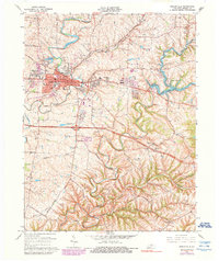
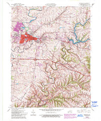
1965 Map of Shelbyville
USGS Topo · Published 1990About this map
Shelbyville serves as the focal point of this mid-century Kentucky survey, showing a landscape defined by significant rail infrastructure and the expansion of residential life into outlying areas like Middletown Heights and Snow Hill. The convergence of the Louisville and Nashville and Southern railroads highlights the community's historical role as a transportation hub. Beyond the urban core, the map captures the transition to recreational and utility development, notably with the presence of Guist Creek Lake and its adjacent Guist Creek Lake State Park.
Find a feature on this map
44 named features on this map. Tap any name to fly to it.
Don’t see what you’re looking for? This feature index may not catch every label — zoom into the map to look around manually.
Map Details
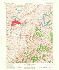
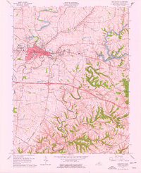
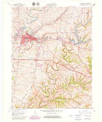
Editions of this 1965 Shelbyville Map
5 editions found
Other maps of this area

1923 · Waddy
USGS Topo · 1:48,000

1925 · Mount Eden
USGS Topo · 1:48,000

1927 · Mount Eden
USGS Topo · 1:62,500

1928 · New Castle
USGS Topo · 1:48,000

1929 · Taylorsville
USGS Topo · 1:62,500

1932 · New Castle
USGS Topo · 1:62,500

1932 · La Grange
USGS Topo · 1:62,500

1954 · Ballardsville
USGS Topo · 1:24,000
1954 · Glensboro
USGS Topo · 1:24,000

1954 · Taylorsville
USGS Topo · 1:24,000