
1908 Map of Shenango
USGS Topo · Published 1908About this map
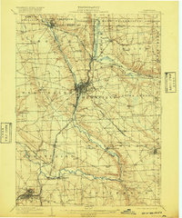
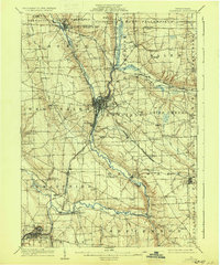
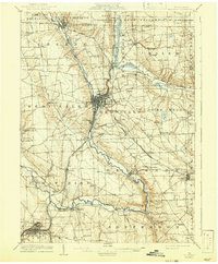
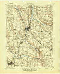
The Shenango River corridor serves as the industrial and transit backbone for northwestern Pennsylvania during this era of rapid rail expansion. Major rail hubs like Greenville and Sharpsville are centers of intense activity, where the Pennsylvania System, Erie Railroad, and Bessemer and Lake Erie converge to move coal and steel across Mercer County. This network links smaller depots like Clarksville Sta and Transfer to the broader regional economy.
Find a feature on this map
71 named features on this map. Tap any name to fly to it.
Don’t see what you’re looking for? This feature index may not catch every label — zoom into the map to look around manually.
Map Details
Editions of this 1908 Shenango Map
5 editions found
Other maps of this area

1905 · Andover
USGS Topo · 1:48,000

1905 · Neshannock
USGS Topo · 1:62,500

1906 · Linesville
USGS Topo · 1:62,500

1906 · Youngstown
USGS Topo · 1:62,500

1907 · Andover
USGS Topo · 1:62,500

1907 · Neshannock
USGS Topo · 1:62,500

1907 · Kinsman
USGS Topo · 1:62,500

1908 · Linesville
USGS Topo · 1:62,500

1908 · Youngstown
USGS Topo · 1:62,500

1911 · Stoneboro
USGS Topo · 1:62,500