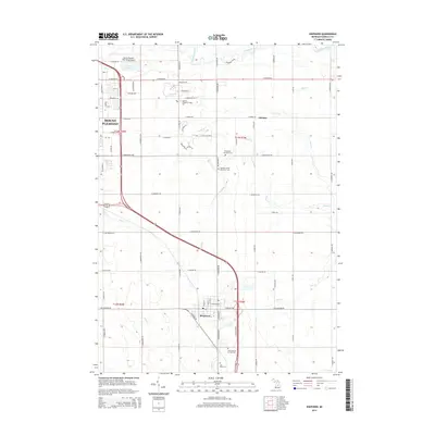
2014 Map of Shepherd
USGS Topo · Published 2014About this map
The village of Shepherd and the southern reaches of Mount Pleasant anchor this 2014 survey of central Isabella County. This modern landscape is defined by the intersection of academic and indigenous history, notably featuring the Saginaw Chippewa Tribal Coll and several significant burial grounds. Genealogists can locate the Isabella County Poor Farm Cem, Chippewa Township Cem, and Saint Vincent de Paul Cem near the southern boundary.
Find a feature on this map
60 named features on this map. Tap any name to fly to it.
Don’t see what you’re looking for? This feature index may not catch every label — zoom into the map to look around manually.
Map Details
Editions of this 2014 Shepherd Map
This is the sole edition of this map. No revisions or reprints were ever made.
Other maps of this area

1916 · Mount Pleasant
USGS Topo · 1:62,500

1919 · Mount Pleasant
USGS Topo · 1:62,500

1930 · Shepherd
USGS Topo · 1:48,000

1935 · Alma
USGS Topo · 1:62,500

1936 · Shepherd
USGS Topo · 1:62,500

1938 · Alma
USGS Topo · 1:62,500

1943 · Mount Pleasant
USGS Topo · 1:62,500

1954 · Midland
USGS Topo · 1:250,000

1958 · Midland
USGS Topo · 1:250,000

1959 · Midland
USGS Topo · 1:250,000