
1951 Map of Sheppard
USGS Topo · Published 1952About this map
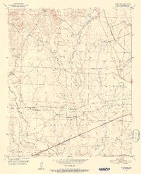
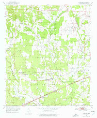
Guernsey and Sheppard serve as central points in this early 1950s agricultural and transit landscape of Hempstead County. The map captures a detailed network of rural infrastructure, from the Missouri Pacific and St Louis San Francisco railroad lines to the utility corridors marked by Pipe Line and Telephone Line labels. Educational and spiritual life is well-documented through landmarks like Guernsey High Sch, Wayne Chapel, and Water Creek Ch.
Find a feature on this map
41 named features on this map. Tap any name to fly to it.
Don’t see what you’re looking for? This feature index may not catch every label — zoom into the map to look around manually.
Map Details
Editions of this 1951 Sheppard Map
4 editions found
Other maps of this area

1951 · Blevins
USGS Topo · 1:24,000

1951 · Patmos
USGS Topo · 1:24,000

1951 · Fulton
USGS Topo · 1:24,000

1951 · Columbus
USGS Topo · 1:24,000

1951 · Spring Hill
USGS Topo · 1:24,000

1951 · Washington
USGS Topo · 1:24,000

1951 · Hope
USGS Topo · 1:24,000

1951 · Mc Nab
USGS Topo · 1:24,000

1953 · El Dorado
USGS Topo · 1:250,000

1957 · El Dorado
USGS Topo · 1:250,000