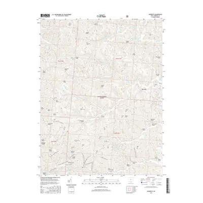
2016 Map of Sherritts
USGS Topo · Published 2016About this map
Wayne National Forest dominates the landscape of this Lawrence County quadrant, where the terrain is deeply etched by a complex network of hollows and ridges. The map reveals an area defined by its small rural communities and extensive public land, centered around the settlement of Sherritts and the southern reaches of Lake Vesuvius. The topography is a maze of named geographic features, from Zoar Ridge and Tick Ridge to numerous family-named valleys like Peckerwood Hollow and Schweickart Hollow.
Find a feature on this map
86 named features on this map. Tap any name to fly to it.
Don’t see what you’re looking for? This feature index may not catch every label — zoom into the map to look around manually.
Map Details
Editions of this 2016 Sherritts Map
This is the sole edition of this map. No revisions or reprints were ever made.
Other maps of this area

1898 · Ironton
USGS Topo · 1:62,500

1900 · Ironton
USGS Topo · 1:62,500

1906 · Bidwell
USGS Topo · 1:62,500

1906 · Athalia
USGS Topo · 1:62,500

1908 · Bidwell
USGS Topo · 1:62,500

1908 · Athalia
USGS Topo · 1:62,500

1912 · Oak Hill
USGS Topo · 1:62,500
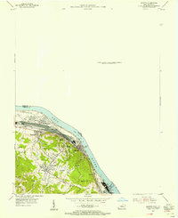
1953 · Ironton
USGS Topo · 1:24,000

1957 · Huntington
USGS Topo · 1:250,000
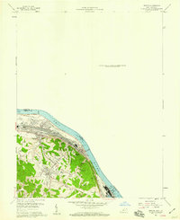
1958 · Ironton
USGS Topo · 1:24,000