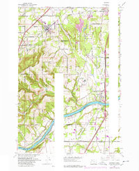
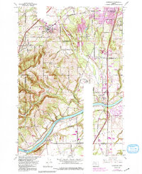
1961 Map of Sherwood
USGS Topo · Published 1977About this map
Sherwood and Wilsonville stand as central hubs in this mid-century portrait of the Tualatin Valley and the northern reaches of the Willamette Valley. The landscape transitions from the agricultural expanse of French Prairie and Onion Flat to the elevated terrain of Parrett Mountain and Ladd Hill. Transportation defines the area's development, with the Southern Pacific and Oregon Electric rail lines cutting through the countryside alongside the burgeoning Baldock Freeway. Significant institutional and infrastructure footprints are visible, including the Dammasch State Hospital and the Sherwood Union HS. Along the banks of the Willamette River, small landings and settlements like Butteville and Prahl mark the historic river-and-rail economy that once dominated these valley communities.
Find a feature on this map
40 named features on this map. Tap any name to fly to it.
Don’t see what you’re looking for? This feature index may not catch every label — zoom into the map to look around manually.
Map Details
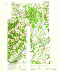
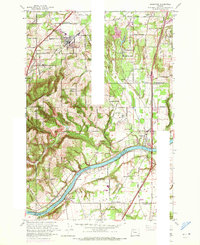
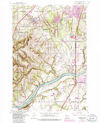
Editions of this 1961 Sherwood Map
5 editions found
Other maps of this area

1914 · Oregon City
USGS Topo · 1:62,500

1916 · Tualatin
USGS Topo · 1:62,500

1923 · Mount Angel
USGS Topo · 1:62,500

1939 · Molalla
USGS Topo · 1:62,500

1939 · Oregon City
USGS Topo · 1:62,500

1939 · Tualatin
USGS Topo · 1:62,500

1940 · Tualatin
USGS Topo · 1:62,500

1940 · Molalla
USGS Topo · 1:62,500

1940 · Mount Angel
USGS Topo · 1:62,500

1941 · Oregon City
USGS Topo · 1:62,500