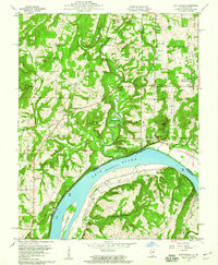
1959 Map of Shetlerville
USGS Topo · Published 1960About this map
Shetlerville and the neighboring hills of the Shawnee National Forest define this landscape along the Ohio River during the late 1950s. The river is a central artery of movement, featuring Rondeau Island and the primary state boundary between Illinois and Kentucky. Inland, the terrain is marked by a concentration of extractive industry and rural infrastructure, including the Baker Mine, Stewart Mine, and a Gravel Pit. The Illinois Central railroad serves the riverfront community, passing through the junction at Humm Wye. A significant number of family and community cemeteries, such as Troutman Cem, Soward Cem, and Vaughn Cem, are scattered across the ridges, providing valuable geographic markers for genealogists. The map also highlights local landmarks like Horseshoe Lake and several rural congregations including St Joseph Ch and Union Ch, illustrating the social fabric of the river valley settlements.
Find a feature on this map
56 named features on this map. Tap any name to fly to it.
Don’t see what you’re looking for? This feature index may not catch every label — zoom into the map to look around manually.
Map Details
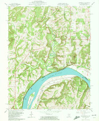
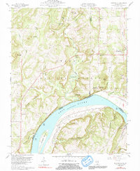
Editions of this 1959 Shetlerville Map
3 editions found
Other maps of this area

1916 · Golconda
USGS Topo · 1:62,500

1916 · Equality
USGS Topo · 1:62,500

1917 · Brownfield
USGS Topo · 1:62,500

1920 · Goloonda
USGS Topo · 1:48,000

1921 · Golconda
USGS Topo · 1:62,500

1925 · Harrisburg
USGS Topo · 1:62,500

1939 · Harrisburg
USGS Topo · 1:62,500

1949 · Paducah
USGS Topo · 1:250,000

1950 · Paducah
USGS Topo · 1:250,000

1954 · Paducah
USGS Topo · 1:250,000