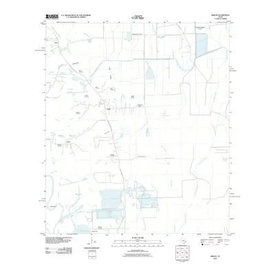
2010 Map of Shiloh
USGS Topo · Published 2010About this map
Sherman Cemetery and the small community of Cedar Hill anchor the southern reaches of this Liberty County landscape, where the Trinity River winds through Fisher Bend toward the waters of Lake Charlotte. The terrain is defined by an intricate network of drainage and irrigation, including the West Branch Devers Canal and various coastal gullies such as Pignut Gully and Hatcher Gully. Numerous family-named burial grounds like Miller Cemetery, Norris Cemetery, and Albritton Cemetery are scattered throughout the quadrangle, suggesting a long history of local settlement near Shiloh. The map also details early 21st-century infrastructure, featuring the George W Maxwell Levee and a system of bayous, including Cow Island Bayou and Turtle Bayou, that manage the water flow across this low-lying Texas coastal plain.
Find a feature on this map
47 named features on this map. Tap any name to fly to it.
Don’t see what you’re looking for? This feature index may not catch every label — zoom into the map to look around manually.
Map Details
Editions of this 2010 Shiloh Map
This is the sole edition of this map. No revisions or reprints were ever made.
Other maps of this area

1942 · Anahuac
USGS Topo · 1:24,000

1943 · Whites Bayou
USGS Topo · 1:24,000

1943 · Liberty
USGS Topo · 1:125,000

1950 · Houston
USGS Topo · 1:250,000

1954 · Beaumont
USGS Topo · 1:250,000

1955 · Daisetta
USGS Topo · 1:62,500

1955 · Liberty
USGS Topo · 1:62,500

1956 · Houston
USGS Topo · 1:250,000

1957 · Beaumont
USGS Topo · 1:250,000
1961 · Anahuac
USGS Topo · 1:24,000