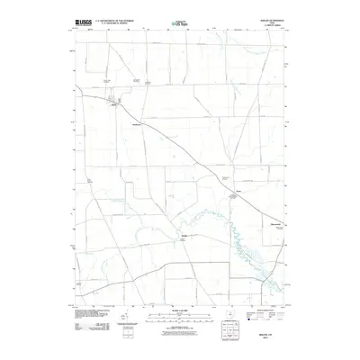
2010 Map of Shiloh
USGS Topo · Published 2010About this map
Shiloh sits at the intersection of local history and agricultural tradition in northern Richland County, serving as a primary hub for this rural landscape. The village is anchored by the Shiloh Post Office and nearby Mount Hope Cemetery, illustrating the long-standing community structure of the region. The landscape is defined by the winding course of the Black Fork Mohican River and its various tributaries like Leatherwood Creek and Bear Run, which carve through the grid of section roads.
Find a feature on this map
63 named features on this map. Tap any name to fly to it.
Don’t see what you’re looking for? This feature index may not catch every label — zoom into the map to look around manually.
Map Details
Editions of this 2010 Shiloh Map
This is the sole edition of this map. No revisions or reprints were ever made.
Other maps of this area

1908 · Ashland
USGS Topo · 1:62,500

1908 · New London
USGS Topo · 1:62,500

1915 · Norwalk
USGS Topo · 1:62,500

1915 · Crestline
USGS Topo · 1:62,500

1943 · Crestline
USGS Topo · 1:62,500

1944 · Norwalk
USGS Topo · 1:62,500

1950 · Marion
USGS Topo · 1:250,000

1956 · Toledo
USGS Topo · 1:250,000

1960 · New London
USGS Topo · 1:24,000

1960 · Willard
USGS Topo · 1:24,000