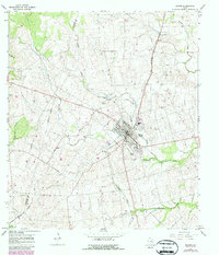
1965 Map of Shiner
USGS Topo · Published 1987About this map
Shiner serves as the central hub of this Lavaca County survey, situated at the junction of the Southern Pacific railroad and a network of rural roads. The town's social and civic life is anchored by institutions like St Paul High Sch and the municipal High Sch, while the local sporting culture is represented by Comanche Stadium. The surrounding landscape is defined by the winding paths of Boggy Creek and Rocky Creek, which drain the rolling terrain of the central Texas coastal plain.
Find a feature on this map
26 named features on this map. Tap any name to fly to it.
Don’t see what you’re looking for? This feature index may not catch every label — zoom into the map to look around manually.
Map Details
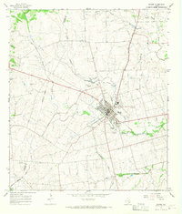
Editions of this 1965 Shiner Map
2 editions found
Other maps of this area

1901 · Flatonia
USGS Topo · 1:125,000

1953 · Seguin
USGS Topo · 1:250,000

1958 · Seguin
USGS Topo · 1:250,000

1959 · Hochheim
USGS Topo · 1:24,000

1959 · Hamon
USGS Topo · 1:24,000

1962 · Dilworth
USGS Topo · 1:24,000

1963 · Yoakum
USGS Topo · 1:24,000

1963 · Sweet Home
USGS Topo · 1:24,000

1965 · Wied
USGS Topo · 1:24,000

1965 · Komensky
USGS Topo · 1:24,000