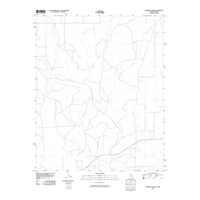
2010 Map of Shinnery Creek
USGS Topo · Published 2010About this map
The Salt Fork Red River meanders southeastward across this Oklahoma borderland, creating a complex drainage network that defines the local topography. This 2010 survey illustrates a sparsely populated ranching landscape where historical land use is etched into the road grid, most notably at the Mill Iron Ranch Rd. Tributaries such as Roundup Creek, OM Creek, and Coon Creek carve through the terrain, feeding into the primary river system. Along the southern edge of the map, the namesake Shinnery Creek flows through Harmon County, flanked by a network of county roads like Co RD U and Co RD 280. The absence of dense town sites highlights the area's rural character, emphasizing the importance of these waterways and ranch access roads in the local geography.
Find a feature on this map
18 named features on this map. Tap any name to fly to it.
Don’t see what you’re looking for? This feature index may not catch every label — zoom into the map to look around manually.
Map Details
Editions of this 2010 Shinnery Creek Map
This is the sole edition of this map. No revisions or reprints were ever made.
Other maps of this area

1954 · Amarillo
USGS Topo · 1:250,000

1954 · Plainview
USGS Topo · 1:250,000

1955 · Lawton
USGS Topo · 1:250,000

1955 · Clinton
USGS Topo · 1:250,000

1957 · Clinton
USGS Topo · 1:250,000

1958 · Amarillo
USGS Topo · 1:250,000

1958 · Plainview
USGS Topo · 1:250,000

1959 · Wellington NW
USGS Topo · 1:24,000

1959 · Shinnery Creek
USGS Topo · 1:24,000

1961 · Erick
USGS Topo · 1:62,500