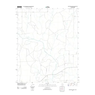
2012 Map of Shinnery Creek
USGS Topo · Published 2012About this map
The Salt Fork Red River meanders across this rural expanse in southwestern Oklahoma and northern Texas, defining the primary drainage for a landscape shaped by intermittent creek beds and ranching access. This 2012 survey documents the persistent rural character of Harmon County, where the network of county roads like Co Road M and Co Road U creates a rigid grid over the winding paths of Roundup Cr and Om Cr. A notable landmark for local history and land use is Mill Iron Ranch Rd, which provides access to the southern reaches near Shinnery Cr. The map illustrates the transition from high plains plateaus down into the river valley, where seasonal waterways such as Dry Cr and Coon Cr feed into the larger river system during the region's rare heavy rains.
Find a feature on this map
23 named features on this map. Tap any name to fly to it.
Don’t see what you’re looking for? This feature index may not catch every label — zoom into the map to look around manually.
Map Details
Editions of this 2012 Shinnery Creek Map
This is the sole edition of this map. No revisions or reprints were ever made.
Other maps of this area

1954 · Amarillo
USGS Topo · 1:250,000

1954 · Plainview
USGS Topo · 1:250,000

1955 · Lawton
USGS Topo · 1:250,000

1955 · Clinton
USGS Topo · 1:250,000

1957 · Clinton
USGS Topo · 1:250,000

1958 · Amarillo
USGS Topo · 1:250,000

1958 · Plainview
USGS Topo · 1:250,000

1959 · Wellington NW
USGS Topo · 1:24,000

1959 · Shinnery Creek
USGS Topo · 1:24,000

1961 · Erick
USGS Topo · 1:62,500