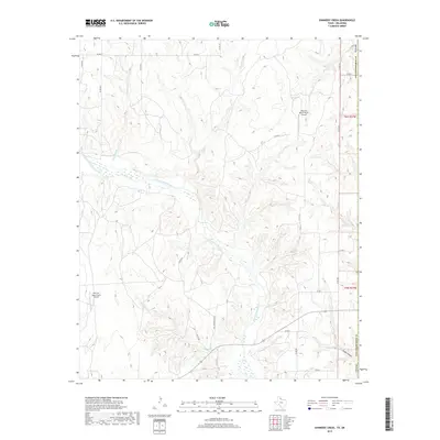
2019 Map of Shinnery Creek
USGS Topo · Published 2019About this map
The Salt Fork Red River carves a winding path across this portion of Harmon County, Oklahoma, defining a landscape of complex drainage systems and isolated ranching infrastructure. This modern survey reveals a network of watercourses including Roundup Creek and Shinnery Creek that feed into the river basin. The map is characterized by its rural isolation, anchored by private aviation points such as Mill Iron Ranch North Airport and Mill Iron Ranch South Airport.
Find a feature on this map
27 named features on this map. Tap any name to fly to it.
Don’t see what you’re looking for? This feature index may not catch every label — zoom into the map to look around manually.
Map Details
Editions of this 2019 Shinnery Creek Map
This is the sole edition of this map. No revisions or reprints were ever made.
Other maps of this area

1954 · Amarillo
USGS Topo · 1:250,000

1954 · Plainview
USGS Topo · 1:250,000

1955 · Lawton
USGS Topo · 1:250,000

1955 · Clinton
USGS Topo · 1:250,000

1957 · Clinton
USGS Topo · 1:250,000

1958 · Amarillo
USGS Topo · 1:250,000

1958 · Plainview
USGS Topo · 1:250,000

1959 · Wellington NW
USGS Topo · 1:24,000

1959 · Shinnery Creek
USGS Topo · 1:24,000

1961 · Erick
USGS Topo · 1:62,500