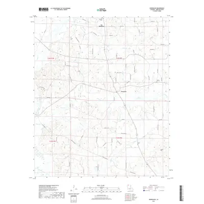
2018 Map of Shongaloo
USGS Topo · Published 2018About this map
Old Shongaloo and the modern settlement of Shongaloo anchor this northern Louisiana landscape, where the terrain transitions from the low-lying wetlands of Bayou Dorcheat to the higher elevations of Duncan Hill. The map preserves a dense network of local family history through numerous small burial grounds, including the Old Shongaloo Cem, Haynes Cem, Pilgrims Rest Cem, and Hudson Cem.
Find a feature on this map
71 named features on this map. Tap any name to fly to it.
Don’t see what you’re looking for? This feature index may not catch every label — zoom into the map to look around manually.
Map Details
Editions of this 2018 Shongaloo Map
This is the sole edition of this map. No revisions or reprints were ever made.
Other maps of this area

1922 · Sarepta
USGS Topo · 1:62,500

1924 · Sarepta
USGS Topo · 1:62,500

1952 · Homer
USGS Topo · 1:62,500

1953 · El Dorado
USGS Topo · 1:250,000

1955 · Shreveport
USGS Topo · 1:250,000

1956 · Shreveport
USGS Topo · 1:250,000

1956 · Sarepta
USGS Topo · 1:62,500

1957 · El Dorado
USGS Topo · 1:250,000

1958 · El Dorado
USGS Topo · 1:250,000

1960 · El Dorado
USGS Topo · 1:250,000