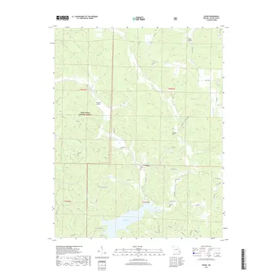
2017 Map of Shook
USGS Topo · Published 2017About this map
The community of Shook is the central settlement in this portion of Wayne County, positioned where Shook Cr flows toward the extensive northern reaches of Lake Wappapello. The landscape is a complex network of ridges and hollows, such as Nagle Hollow and Harper Hollow, much of which is protected within the Mark Twain National Forest. This 2017 survey reveals a rural area defined by its water sources and family legacies, evidenced by the numerous cemeteries including Shiloh Cem and Helm Cem.
Find a feature on this map
54 named features on this map. Tap any name to fly to it.
Don’t see what you’re looking for? This feature index may not catch every label — zoom into the map to look around manually.
Map Details
Editions of this 2017 Shook Map
This is the sole edition of this map. No revisions or reprints were ever made.
Other maps of this area

1934 · Greenville
USGS Topo · 1:62,500

1934 · Puxico
USGS Topo · 1:62,500

1935 · Poplar Bluff
USGS Topo · 1:62,500

1935 · Zalma
USGS Topo · 1:62,500

1939 · Greenville
USGS Topo · 1:62,500

1939 · Puxico
USGS Topo · 1:62,500

1939 · Zalma
USGS Topo · 1:62,500

1939 · Poplar Bluff
USGS Topo · 1:62,500

1949 · Rolla
USGS Topo · 1:250,000

1949 · Poplar Bluff
USGS Topo · 1:62,500